Sold
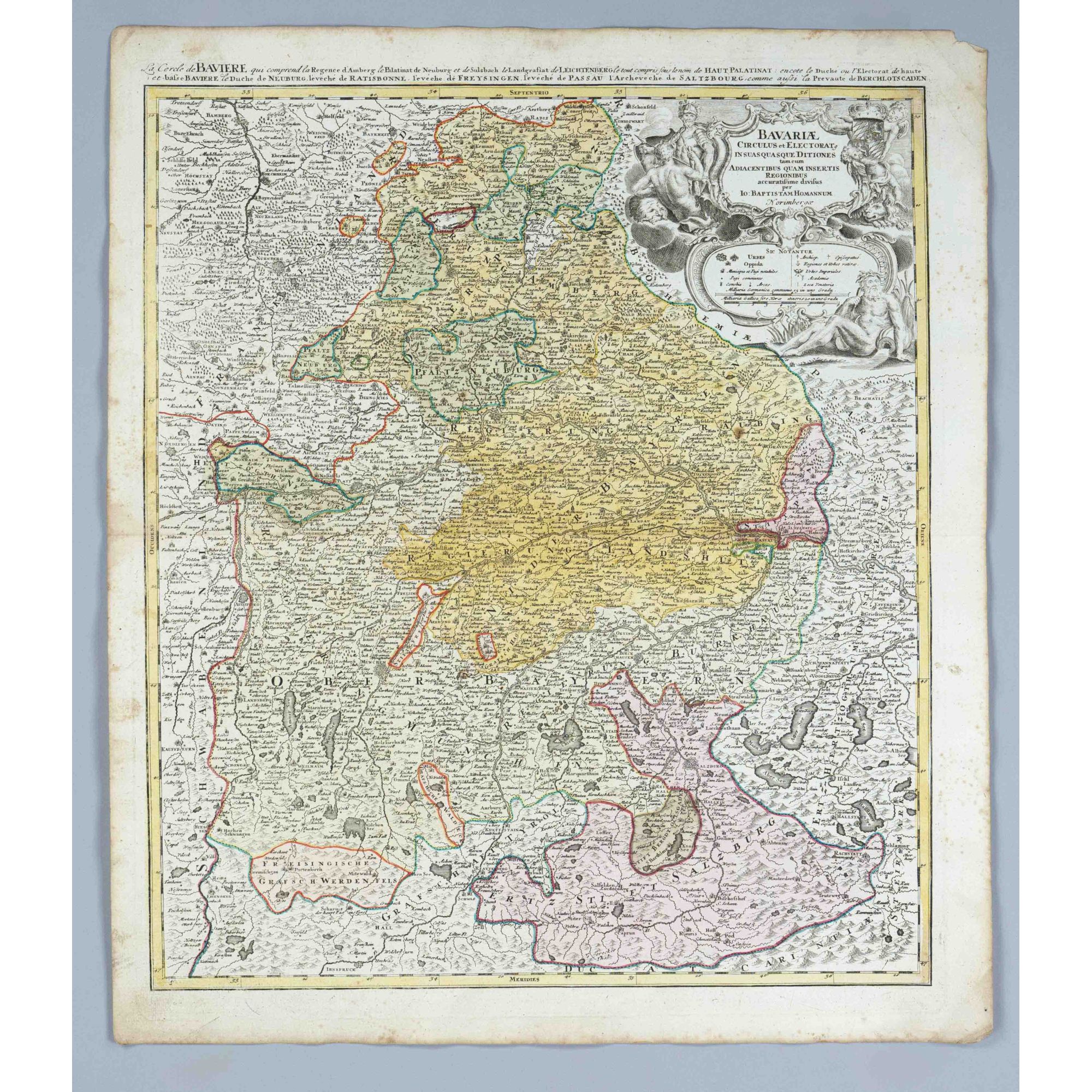


Historical map of Bavaria, ''Bavariae Circulus et Electoratus'', partly col. Copper engraved map by Homann around 1720, detailed depiction of Bavarian territories from the Upper Palatinate to the Archbishopric of Salzburg, centerfold, slightly stained in the margin, sheet measures 61 x 53 cm
Category: Painting Artwork before 1800