Sold
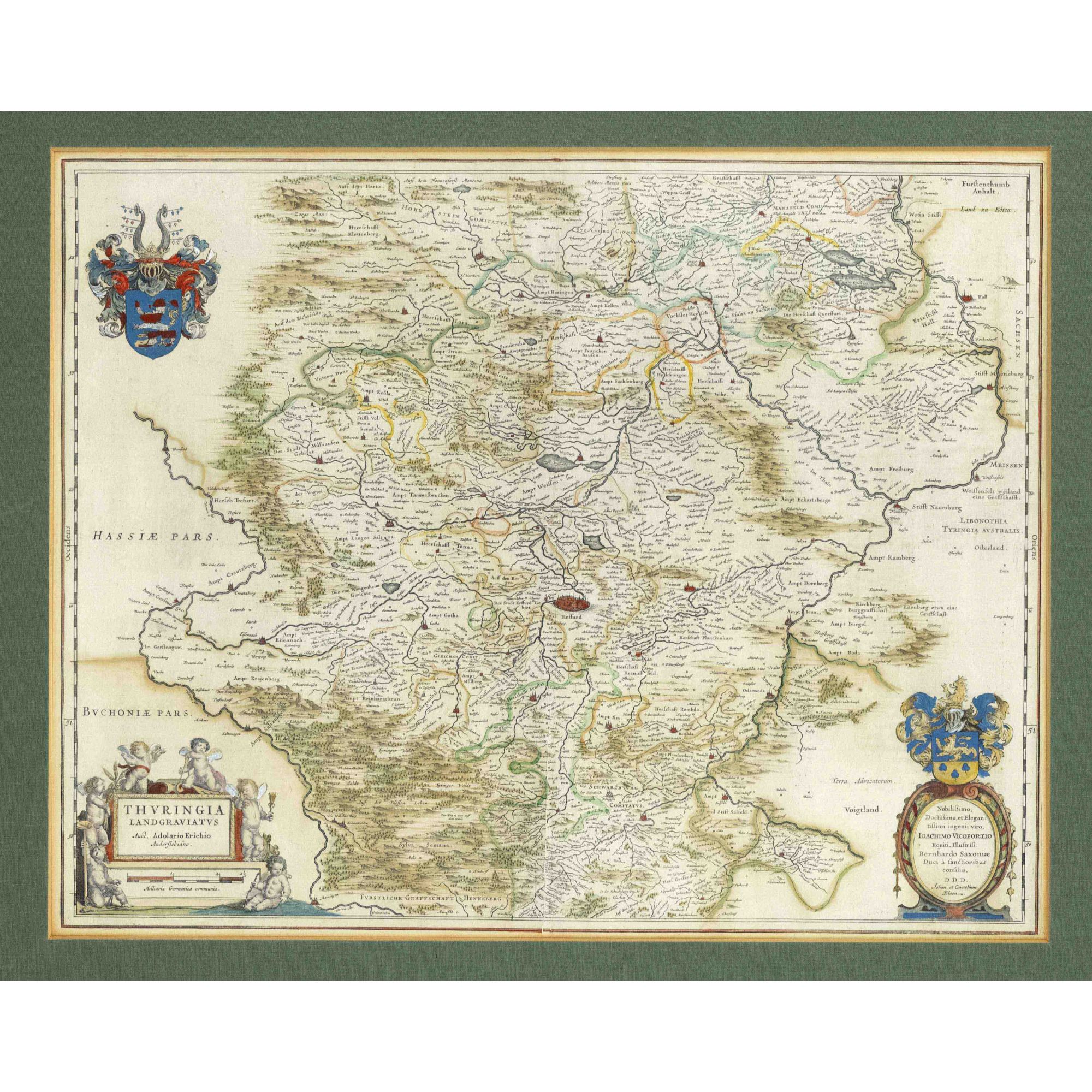


Historical map of Thuringia, ''Thuringia Landgraviatus Auct. Adolario Erichio Anderslebiano'', old colored copper engraving map by Adolar Erich, by Joan and Cornelis Blaeu in Amsterdam c. 1650, showing Thuringia between Mansfeld, Halle, Weißenfels, Schwarzburg, Schmalkalden and Mühlhausen with Erfurt in the center, 42 x 52 cm, framed behind glass and passepartout 54 x 65 cm
Category: Painting Artwork before 1800