This website uses cookies

We and authorised third parties use cookies. More information about the cookies, their purpose and how they are shared is explained fully in the cookies information. In order to guarantee the best possible user experience, please click "accept all". You can also save preferences or decline the use of cookies, with the exception of necessary cookies. Cookies information and more

168.Auktion


Strike a deal in the post-auction sale

Post-auction sale | Physical auction

7024

Lot: 7024

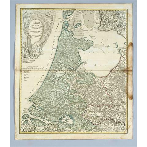
Historical map of Holland and F

Starting price 80 EUR

Historical map of Holland and Friesland, ''Tabula Comitatus Hollandiae cum ipsius confinijs, dominii nimirum Ultraiectini nec non Geldriae et Frisiae'', partly col. Copper engraved map with figurative title cartouche, Homann 1733, centerfold, more stained at right margin, 62 x 52 cm