This website uses cookies

We and authorised third parties use cookies. More information about the cookies, their purpose and how they are shared is explained fully in the cookies information. In order to guarantee the best possible user experience, please click "accept all". You can also save preferences or decline the use of cookies, with the exception of necessary cookies. Cookies information and more

168.Auktion


Strike a deal in the post-auction sale

Post-auction sale | Physical auction

7034

Lot: 7034

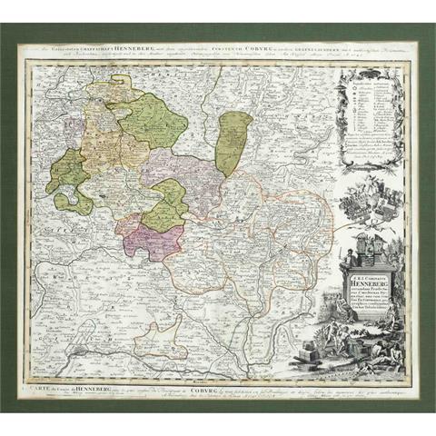
Historical map of Thuringia and

Starting price 80 EUR
Result:
100 EUR

Historical map of Thuringia and Upper Franconia, ''S. R. I. Comitatus Henneberg ...'', ''Karte der Gefürsteten Graffschaft Henneberg, mit dem angrenzenden Fürstenth. Coburg u. anderen Graenzlaendern'', partly colored copper engraving map with figurative cartouche by Homann Erben 1743, shows the area between Georgental in the north, Lichtenfels in the east, Schweinfurt in the south and Heiligenkreuz in the west, 51 x 57 cm, framed behind glass and passe-partout 63 x 70 cm